
Time for another state high point! Woodall Mountain, Mississippi! At 806 feet in elevation, it’s not much more than a mound. I had high hopes of parking at the bottom an hiking up the one mile gravel road but when I arrived, there wasn’t much for van parking spots at the bottom so I ended up just driving to the top. I’m figuring that not many Mississippians hike….. A quick check of the summit register (notice the mailbox on the other side of the rock?), and it was apparent that about one group a day hits the top. I actually signed John and myself in on the register, took a selfie with him hangin off my phone then had a snack before moving on.

Here is your view through a utility corridor. A little bit of work and I could have photoshopped the poles out of this view.
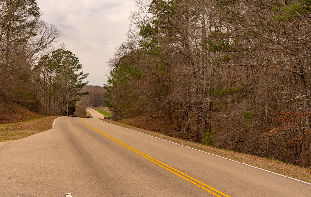
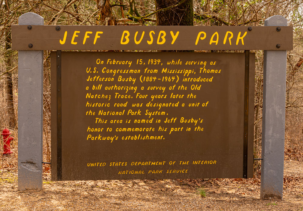
A few miles away, I jumped on the Natchez Trace Parkway which is a 440 mile National Park Service route from basically Nashville, Tennessee to Natchez, Mississippi. See link here. This is a super cool, low speed, winding route through countryside and history. It is quite similar to the Blueridge Parkway except without mountains….. unless you count Woodall and Little Mountains…
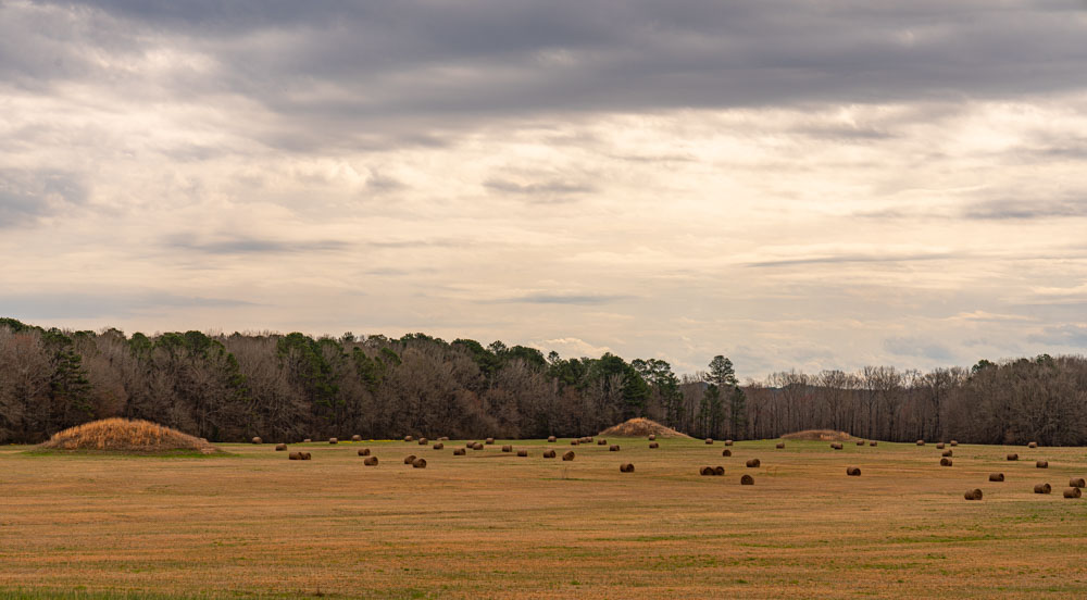
I had heard about these ancient mounds when I was a kid and here they are with some ultra modern hay bails.
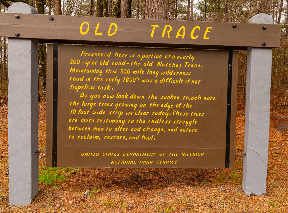
Along the way, the modern route crosses the historical route, reminiscent of the Oregon Trial out west,

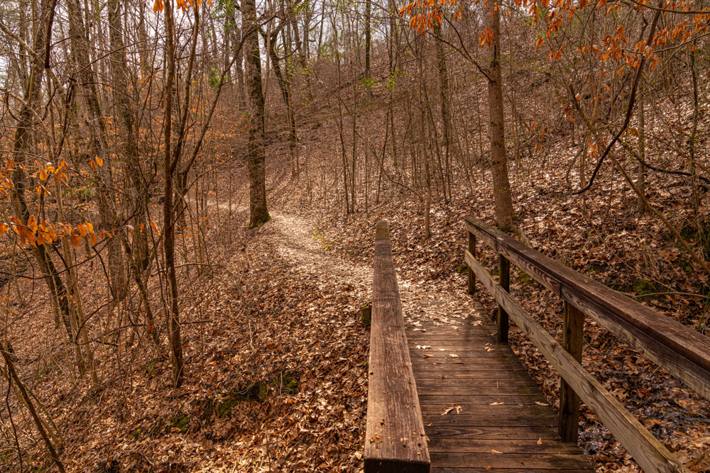
I arrived at a campground along the way where I planned to spend the night and guess what, a nature trail and another random high point. I saddled up and hiked to the top of this 600 ish foot tall “Peak”.
It was a warm day so I was actually working up a lather on this “climb”while at the same time keeping an eye out for copperheads.

This climb was pretty civilized when compared to many in my past but it was still quite enjoyable.
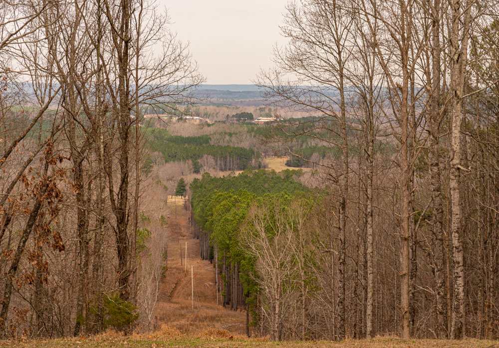
Summit views!


One day in Mississippi, two peaks including a state high point, and no copperheads!!! Not too shabby for a Mid-February morning.
