
Now something completely new and different….. a white water rafting trip! I generally don’t do water but when in New Zealand…

I couldn’t take my camera or iPhone on this trip but the river guides snapped a bunch of photos with their waterproof cameras. Check those out here. There were three rafts in our group, see if you can spot me!
After a good long lunch, it was time for an afternoon bike ride. We headed down to the lake and found this bike path along the shore.

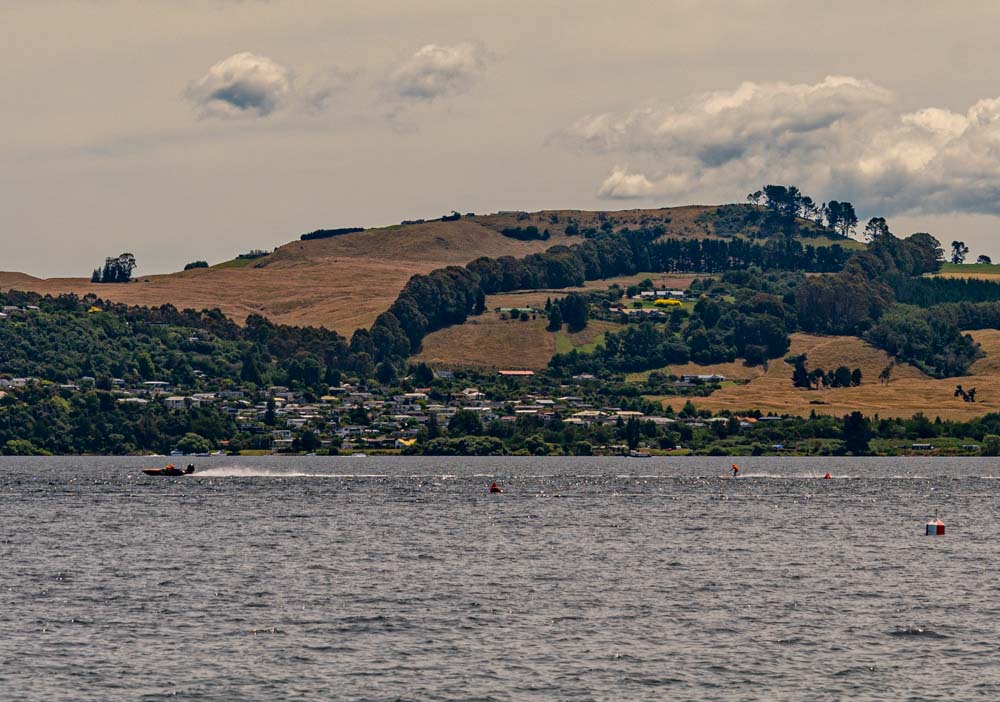
In the bay there was some sort of waterski race going on. Never seen that before!
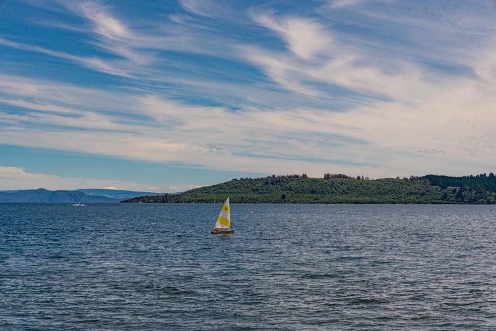
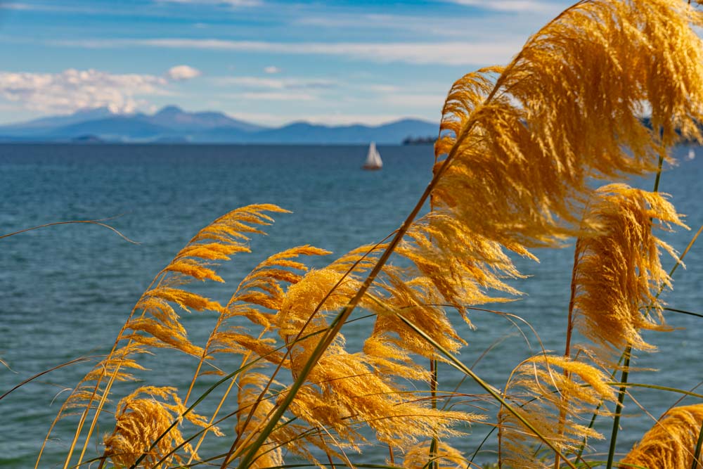
A little further down the lakeshore, a more tranquil mode of propulsion.
Across the lake are a couple volcanic mountains. Center left is Mount Tongariro, a flat toped peak at 6453 feet of elevation. Left of that is Mount Ngauruhoe, a classic conical shape at 7503 feet, and the snow covered peak is the highest peak on the North Island, Mount Ruapehu at 9177 feet. I wanted to go climb these peaks but have been denided.
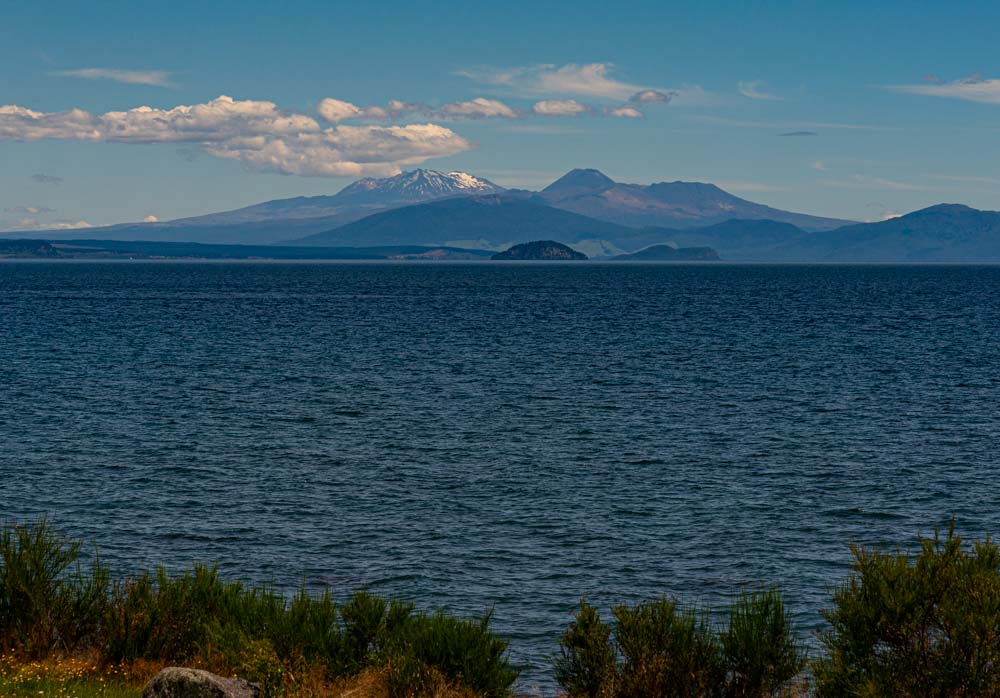
A wide angle shot of the lake and the peaks.

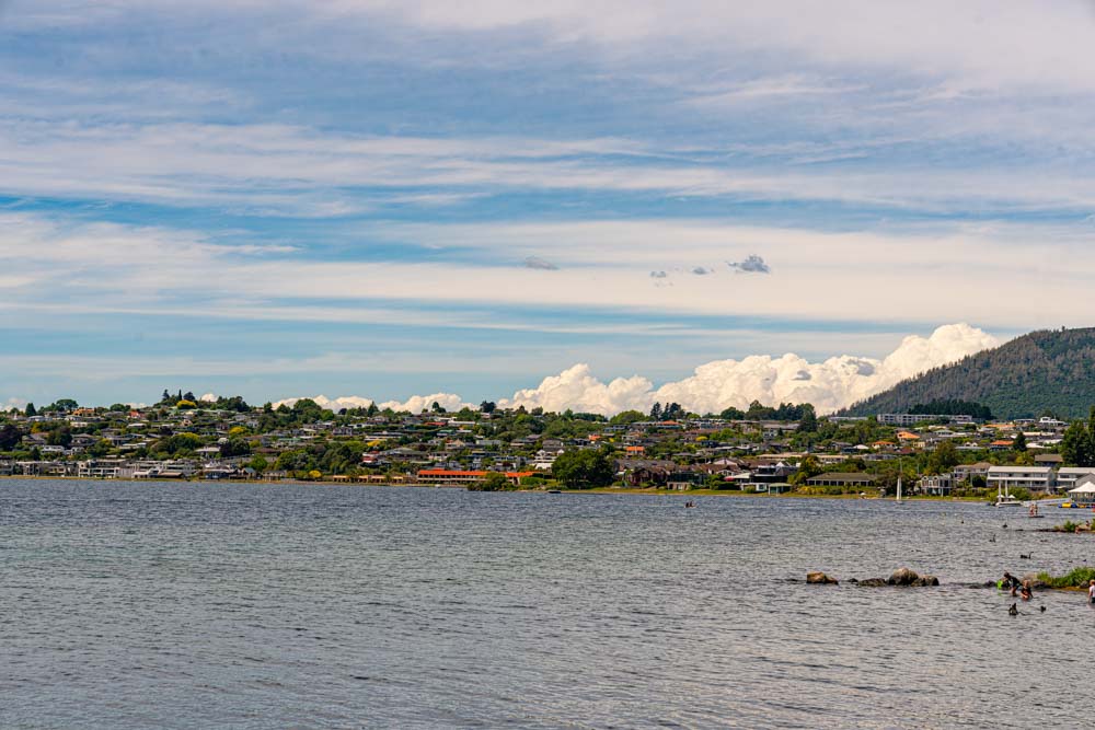
The town of Taupo and our home for the last couple of nights.
Interesting clouds to the west.

Finally a couple artsy fartsy shots of the lake and grasses on the shore.

It was another beautiful day in paradise!

The name given to the North Island by the first Maori navigators was “Land of the Long White Cloud”.
Great photos. Glad you’all are having fun and covering so much ground.
LikeLike
Hi Rosemary! I was not aware of that! Thanks.
LikeLike