, Idaho")
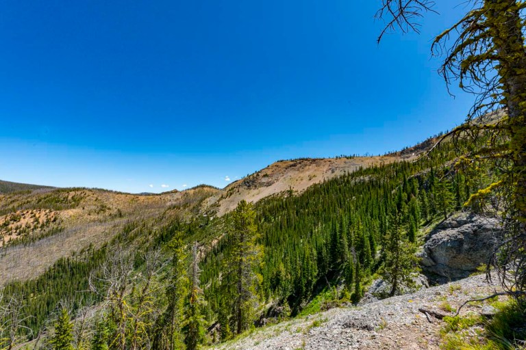
John, Ruby and I met up with couple of other climbers from Idaho, Super Dave and Salmon Jeff, and headed to some of the most remote place is our state. It takes almost three hours to drive to the Lick Creek trailhead (its not the Lick Creek you are thinking of….) and then the journey actually begins. In this image, we are looking up our route towards the top of the drainage. The treed saddle on the top is not actually the top. See John’s trip report here: http://www.splattski.com/2020/cougar_basin/index.html

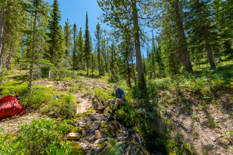
Here is Super Dave filtering water. A couple notes here, for long climbs with a full pack we carry less fluid than needed due to weight constraints so we are forced to occasional stop and refill our water supplies. Dave is using a back country filter to pump into his water bottles. Also note that Dave’s nickname is “Super Dave”. While Dave is one hell of a mountain climber and a super nice guy, we all know who the real Super Dave is….. I’m know as “Tuesday Dave” because this Dave came into John’s life after that Dave and everyone knows that renaming that Dave “Second Best Dave” would be too difficult at this point in everyone’s life. “Tuesday Dave” comes from our regular Tuesday hikes. This was the first time this Dave had met that Dave.
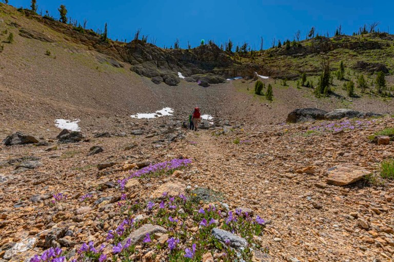
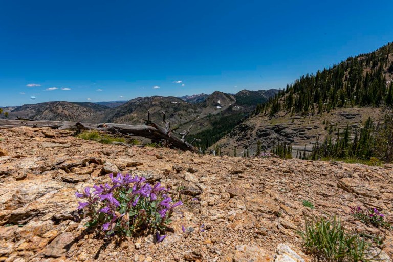
Looking up the canyon to our saddle which is the one right under the top branches. From there we are taking a right turn and climbing Cougar Peak, yes, with our full packs.
This is the rock field under the top branches from the image above.
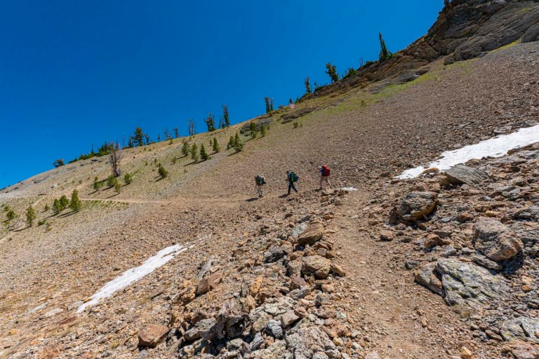
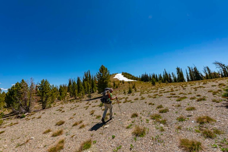
The final switchbacks to the saddle which is right above John.
Although not the top of our climb, it was with some relief that we finally hit the saddle.
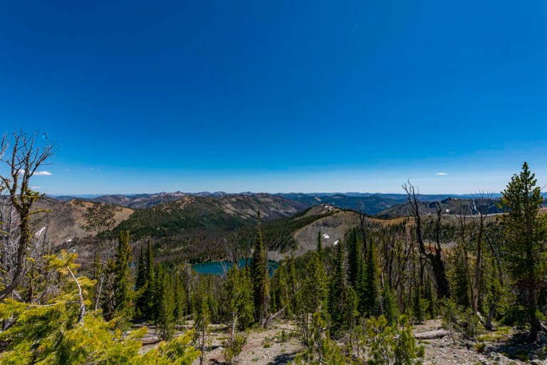
From here, we leave the trail and head up the ridge on the image right. Our peak for the day is barely visible behind the ridge in the image dead center with a touch of snow on top.
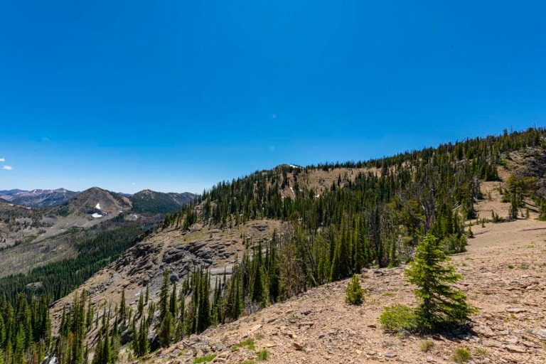
This image looks back down were we climbed up. We came from over the ridge in the distance. You can just make out our trail in the lower center part of the image.
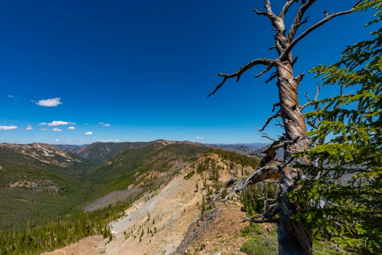
Lots of cool dead snags.

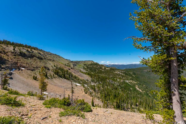
Same sang looking back the other direction. Our trail below is switching back in the rock field center image.
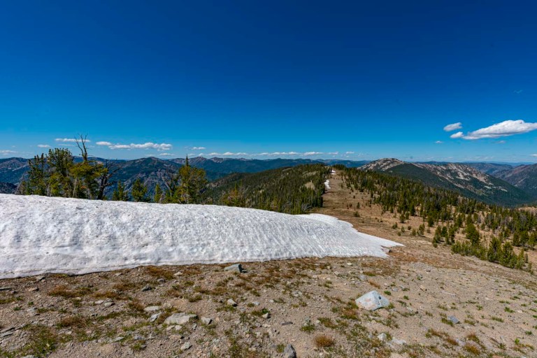
Approaching that tiny snow field near the summit. It was a pretty straight forward “walk up” summit if you don’t mind hauling up a full pack on a steep ridge.
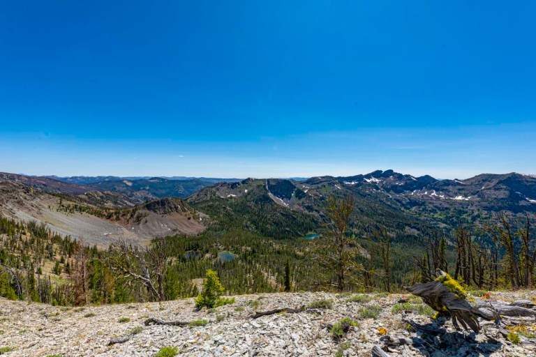
The tinny snow patch aint so tinny! Looking back down the ridge from near the summit of Cougar Peak. Our saddle is barely visible on the right center edge of the image.
SUMMIT! That is Bear Lake below. Our destination for base camp is at a lake right above Bear Lake which is not yet visible, notice that there are few peaks in the distance higher than this one.
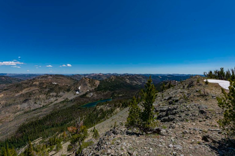
Looking down the other direction is Logan Lake at the top of Jacobs Ladder.
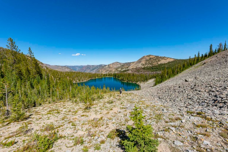
Walking down the ridge on the other side of Cougar Peak, we get our first glimpse of our base camp lake which did not have a name…..Until John dubbed it “Ursa Minor Lake”. We continued down this ridge which you can see re-entering the right center image. We dropped into Ursa Minor just right of the two small snow patches.
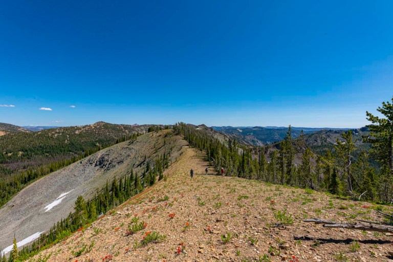
Ridge walking.

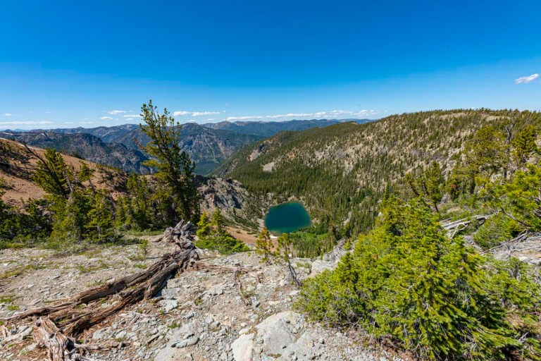
This is a look on the other side of the ridge from Ursa Minor at several lakes in the top of Jacobs Ladder basin. Note the tallest peaks on the skyline are the Pinnacles (which are actually taller than Cougar Peak). John and I climbed them last year. https://davefaitlemonde.com/2019/07/25/the-pinnacles-frank-church-wilderness-area/
More ridge walking with those two small patches of snow coming into view on the left….. not too small now!
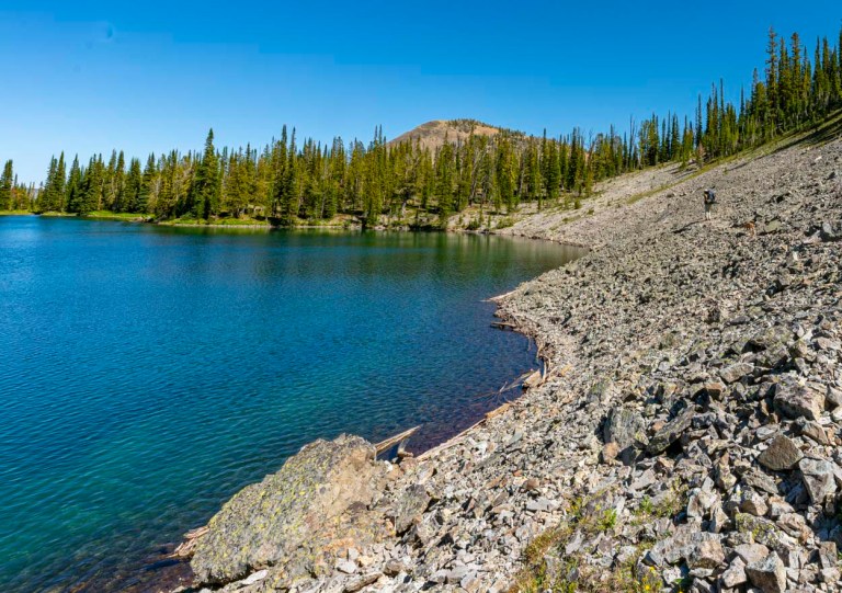
Heading down to Ursa Minor. Our base camp will be on the flat area near the outlet.
Arrival! Heading around the lake to camp! That is John and Ruby on the right.
Lots more excitement to come over the next few episodes! Y’all come back now ya hear!
