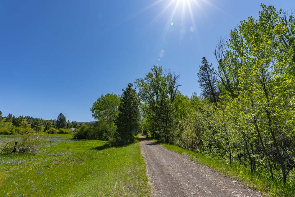
John and I were looking for a mellow cross ride so we headed over to the Weiser River Trail. This trail is a 74 mile long rail to trail conversion from the town of Payette to just short of New Meadows.
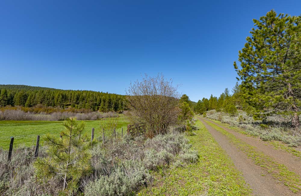
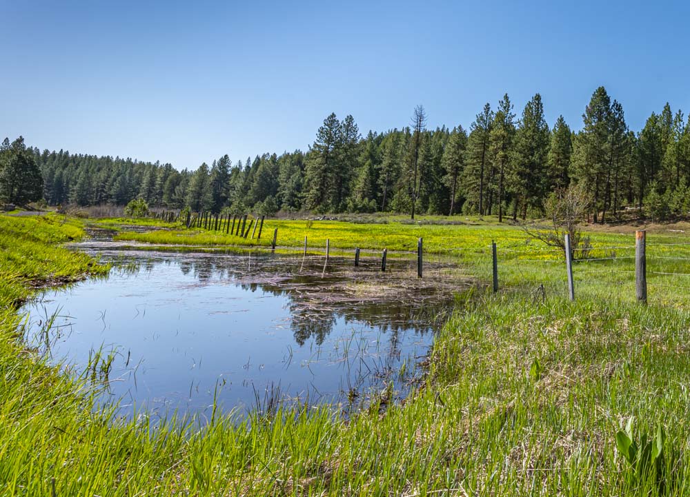
The northern section of the trail ranges from about 3500 to 4200 feet of elevation and runs along the Weiser River. That is significantly lower than McCall so it feels much more Spring like here.
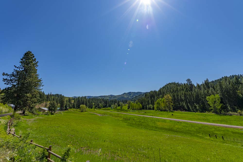
This image looks down on the trail below running through the green meadow.
John wizzing by!
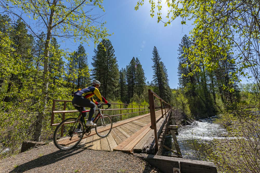
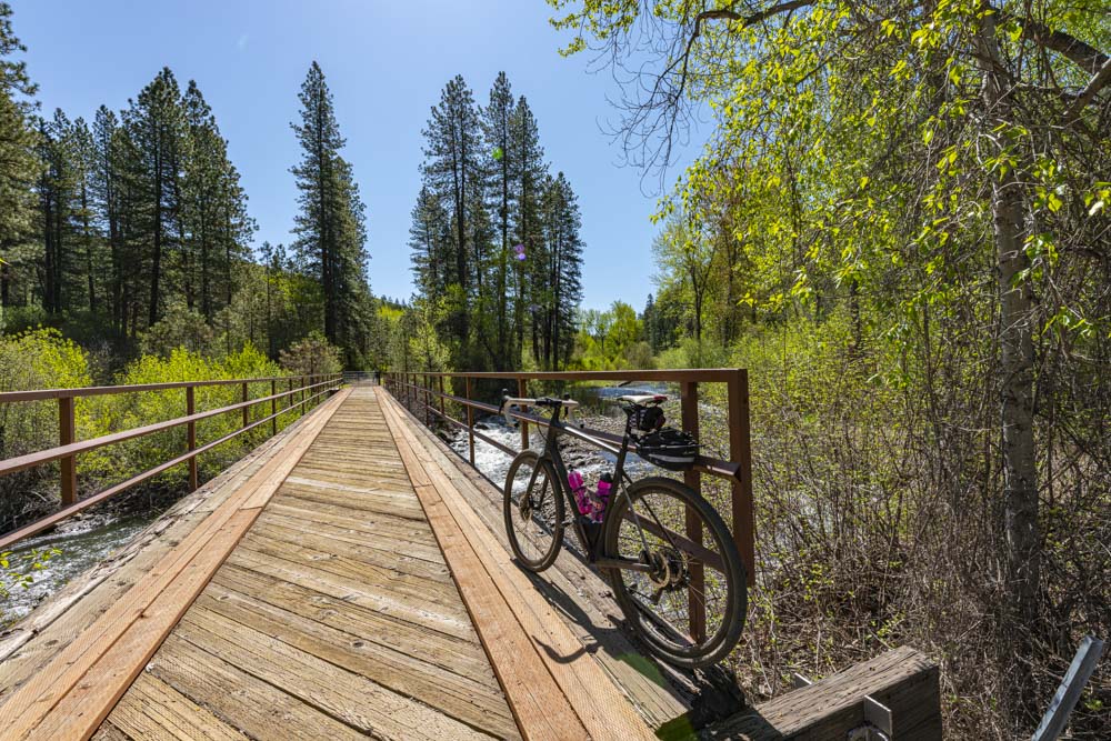
A bike portrait on one of the many river crossings.
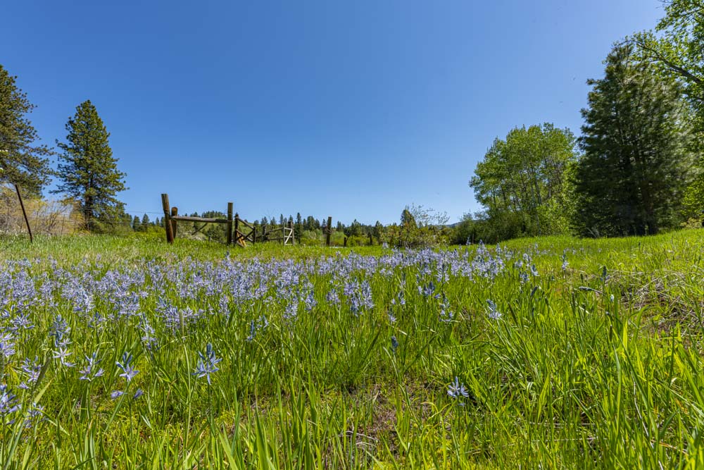
Down at these elevations, the Camas is in full bloom.
Packed gravel surfaces, gentle grades and a beautiful day made for a fun Spring bike ride.