Tom was in town today so John, Ruby, Craig, Dakota, and I headed up to Snowdon Rock with him for a relatively easy stroll. We wanted to take it easy on Tommy so that he may want to come back. I have only been to Snowdon Rock in the winter so this was a new experience. See my previous visit to Snowdon last winter: https://davefaitlemonde.com/2019/02/01/snowdon-point-payette-national-forest-idaho/ There was still a fair amount of snow along the creek but no snowshoes were required.

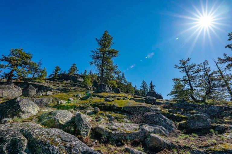
As we moved out of the creek bottom and onto the south facing rocks, we found bare ground.
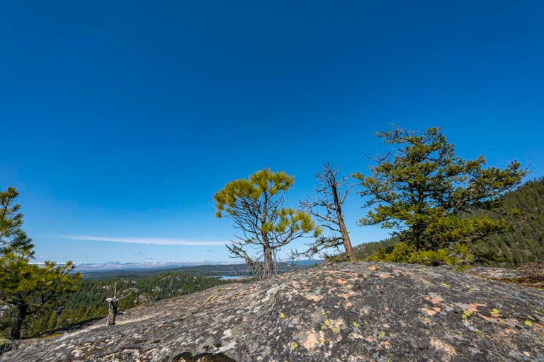
Here is a summit picture, click on the link above and see if you can find the same tree in the snow!
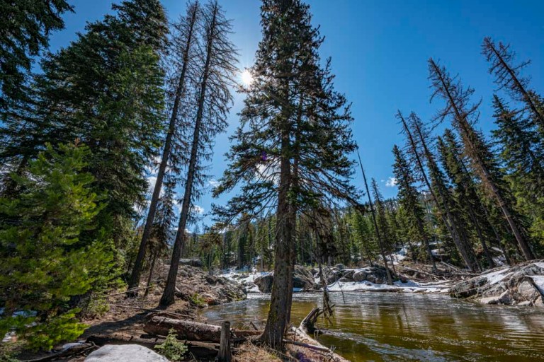
Lake Fork Creek looking more like a river now with the spring melt.
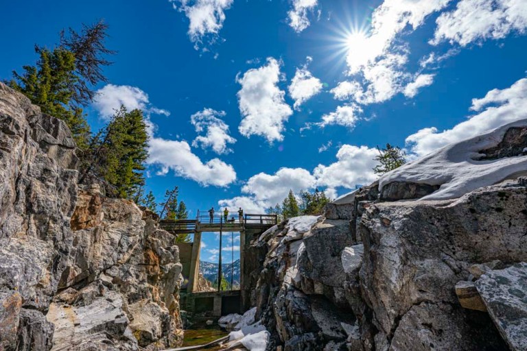
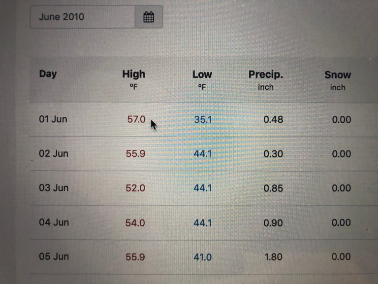
This is an old dam structure for Brown’s Pond. I did a little searching and determined the dam failed on June 4, 2010 and created a flow downstream of 18000 CFS. This is a flow rate about 7 time higher than its previous record for that location. Although the the dam failed many years ago, the old control structure still stands and is quite fascinating for this old water engineer! There is a high country lake called Maki Lake which is located high above this dam structure. It too had a small dam which breeched many years ago. Although I couldn’t find any information on Maki Lake’s dam failure, I’m guessing that the two events are related and that the upper flush of water into Brown’s Pond along with spring runoff proved to be too much for the embankment. Further research on climatic data for the period of early June 2010 showed that several days of heavy rain and relatively warm temperatures on the snow pack likely created high flows and tested the design limits of both small dams……

Early June 2010 climate data, source: usclimatedata.com
Here is an image with my hiking partners hamming it up!