, France")
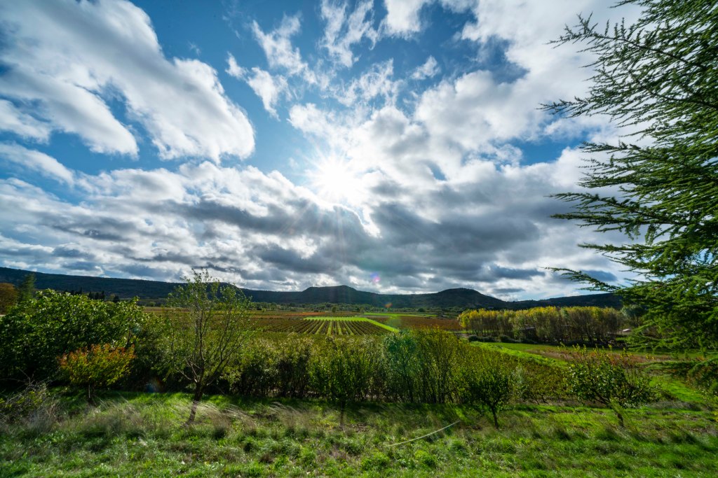
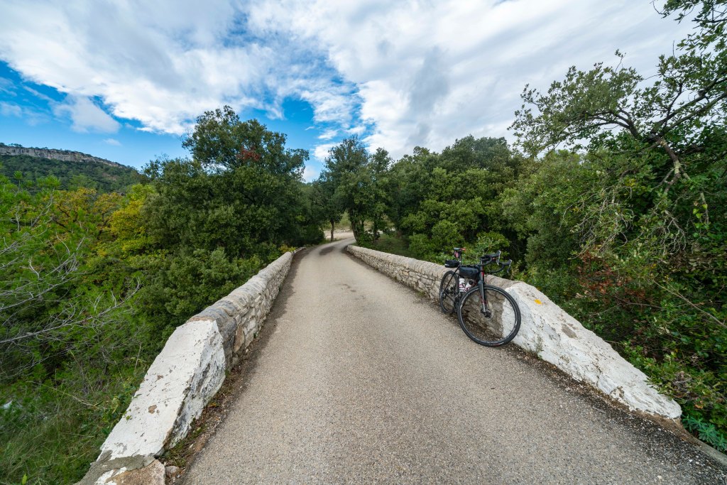
Today a low pressure system passed through and we were rattled by a thunder storm in the morning and high winds in the afternoon. Rich and I decided to go out for an easy local ride. It was a bit of a challenge in the wind but we managed to find some pretty good cover along the way. Most of today’s images are of the local roads.

A beautiful church in Notre Dame de Londres, I’m assuming the town’s patroness?

Notre Dame de Londres. This is a sign you see in most towns, D1 is the road number and Toutes Directions means all directions or, this way out of town!


The colors of Fall are really starting to pop.
This is Pompignan, a beautiful little town just over the ridge from Lauret. Our road switchbacks down the hill and ends on this tree lined straightaway run in.

Here is a shot of the decent. All the climbs here are between 300 and 500 feet of elevation. Nothing is really flat. Our 25 mile loop ride today lasted almost 2 hours and had 2000 feet of climb.
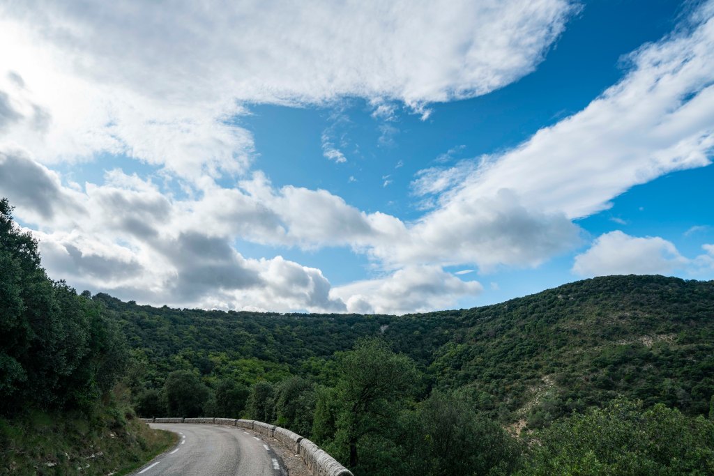
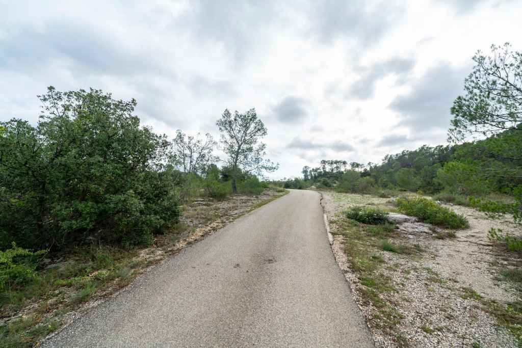
The road between Claret and Lauret.
After the morning thunderstorms, one of the local creeks was running pretty well so I took a moment to photograph a cascade.

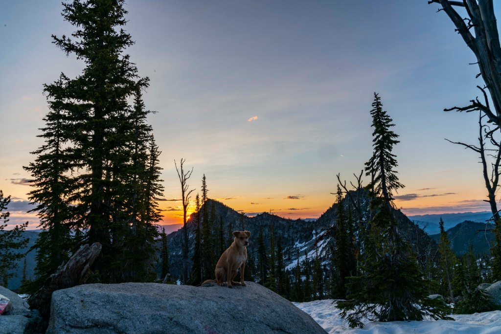
Finally, it’s Ruby’s 3rd birthday today! Happy Birthday Ruby!