

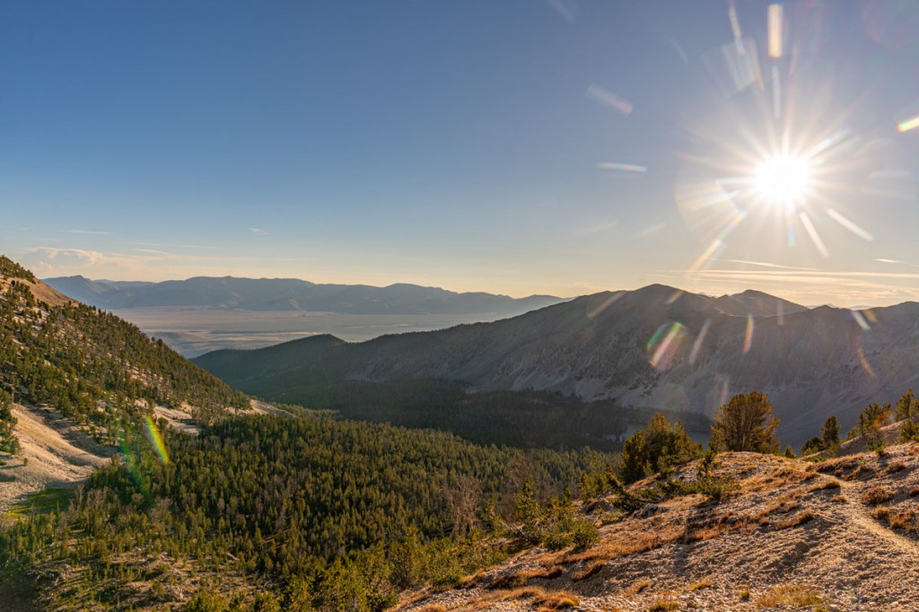
I headed out of camp a few minutes before sunrise and guess what, starting at 9200 feet, it was quite chilly!

It wasn’t long before the sun was washing across the mountains.

I finally climbed high enough to walk in the sunshine.

From this angle, it is tough to tell which one of these pointy crags is the peak… I believe it is the one just above the snow.
After a good grind, I’m at the saddle. If I turn left, its Gilmore Peak, right is Peak 10,723. It struck my how similar this climb felt to one I did last summer, Mount Whitney. However, it was just a fraction of the distance and elevation.

On the horizon, the Lost River Ranges. I believe the tallest peak mid image is Mount Borah, highest peak in Idaho.

I decided to head up Gilmore Peak first and look back to see my next objective, Peak 10,723.
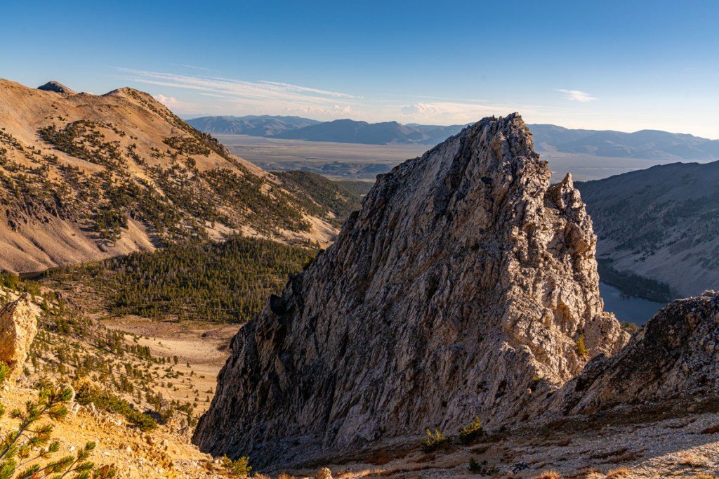
Here are one of those crags I was looking up at earlier. You can just make out Meadow Lake on it’s right shoulder.

Summit! That is Portland Mountain on the left side of the image.
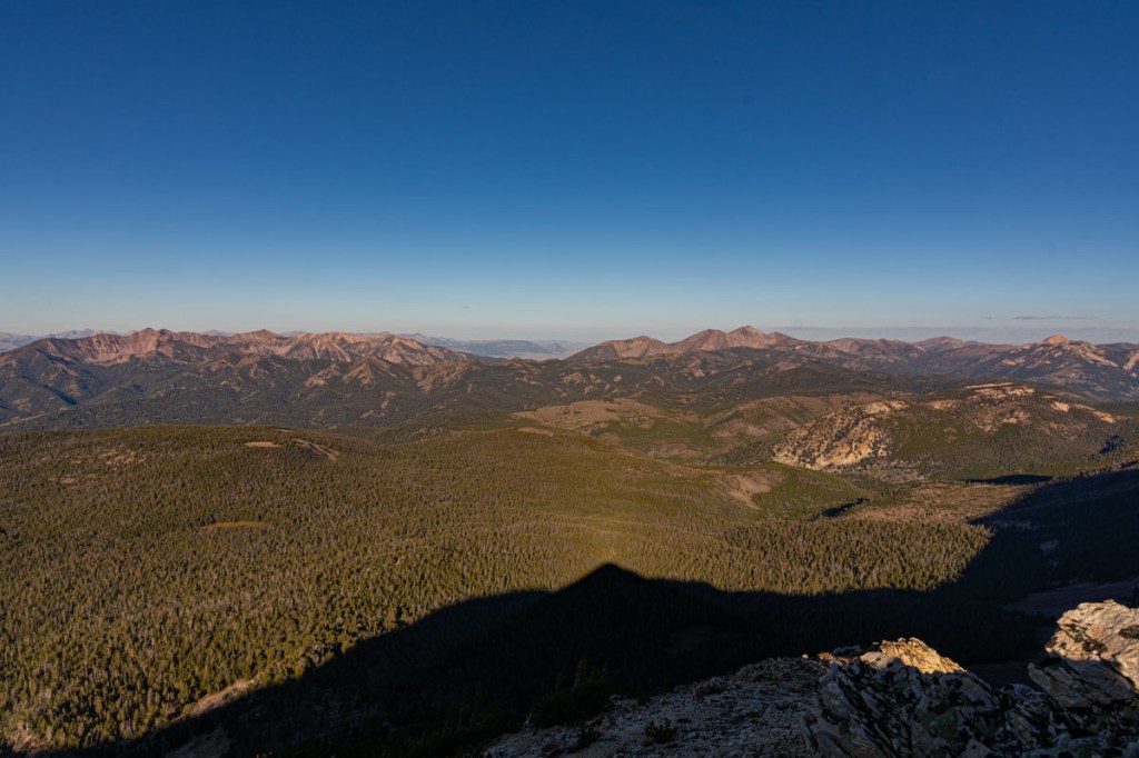
Looking the other direction, the shadow of Gilmore Peak is below me in the valley.

A bit further down the ridge, a better view of Meadow Lake.

Fast forward about an hour later and I’m at the summit of Peak 10,723. Portland Mountain on the right and Deer Lake (?) below.

As I head back to camp, one last image of Gilmore Peak and the sun reflecting off of Meadow Lake and a small pond. If you look carefully off Gilmore Peak’s right shoulder, you can just make out Mount Bell.
