
Today John and I decided to explore an area which neither of us had spent any time, just east of Burgdorf, Idaho. This is an area which is fairly popular with the motorized crowd so we usually avoid these areas. None the less, it had some peaks and bagging peaks is what we do….. Here is a link to John’s report.

In these motorized areas, many of the roads go right to the top of peaks, others traverse near the peaks and are easy to bag by foot. John and I chose to use our bikes and ride to the top.


California Lake.

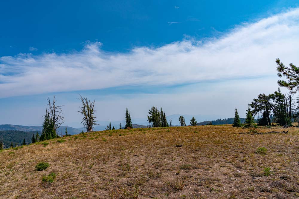
Much of the initial ascent was in a burned area but as we changed drainages we found lush forest.
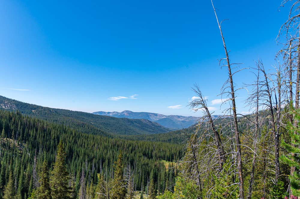
Our first peak of the day came 15 miles and about 3000 feet of climb into the trip. Marshall Mountain. We rode within a few feet of the top and ditched the bikes for the final climb….. later finding a small side road that went right to the top. This is the view looking northwest from the peak.
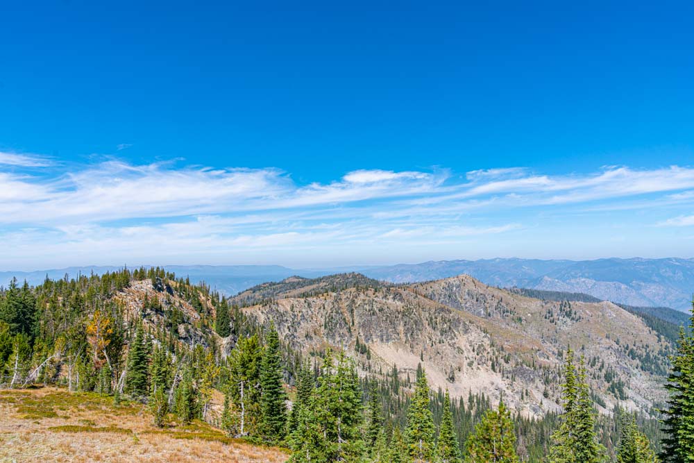
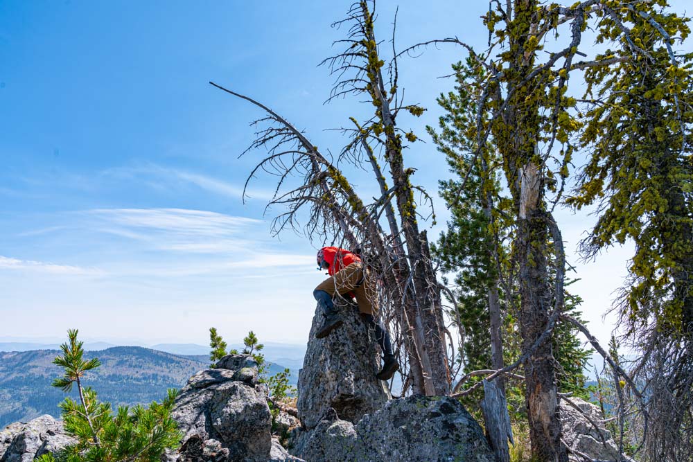
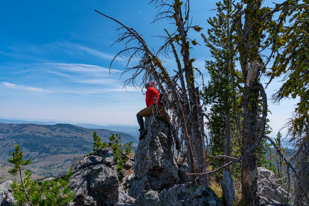
We backtracked to below the nearby Marshall Fin Peak. Here we are standing on the top looking west….. In the trees over yonder seems to be a higher point. Sometimes on these broad relatively flat peaks, the mapped summit does not match the actual summit. John’s friend Tom had bagged this peak several years ago and John was almost giddy knowing that perhaps Tom had inadvertently bagged the wrong point and that HE was actually the first to summit Marshall Fin.
Looking the other directions you can just make out Marshall Mountain (left side of the saddle on the foreground ridge. Look carefully just above the saddle and you can just make out Gospel Hump, a fairly prominent peak here in Central Idaho.
So over to the bump in the trees we trekked and indeed it is about 30 feet higher!!! John mounts the summit rock!
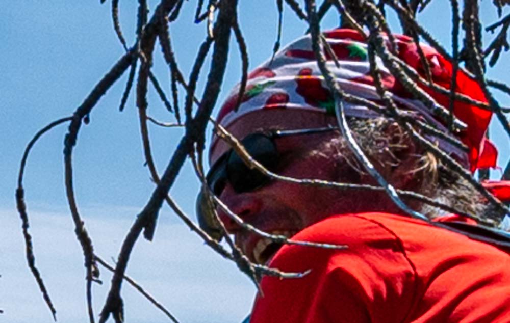
An extreme digital blow up of John’s face….. an expression of satisfaction?…..relief?….joy?….thoughts of Tom missing the actual peak?….something else???? You decide but I gave him a little alone time to have his moment!
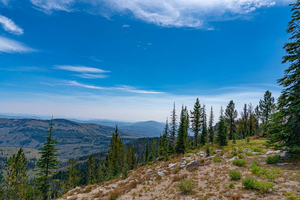
Looking back about a quarter of a mile on the summit ridge, there was one other spot which could actually be higher???? We trekked back and John placed the gps on this possible summit. Indeed it was about 17 feet lower. Of course I already knew this because I had earlier used the water bottle transit and had estimated it was 15 feet lower…..

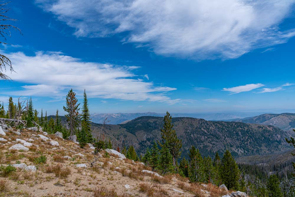
It was time to head back. We selected this trail to drop off the mountain. Here, John stopped and admitted his batteries were getting low. It had been a longer and harder route that we initially expected.

Along this route, we found an old pickup truck which looked about how we both felt.

One final peak, luckily just off our mountain bike trail. We ditched the bikes again and wondered around this round peak trying to figure out the exact peak location.
Finally, the ATV trail gave way to a rough and rugged single track which then gave way to a ripping mountain bike decent. If I were to zoom in on John’s face here it would have a giant grin! A long but brutal route complete but with 3 bagged peaks!

