
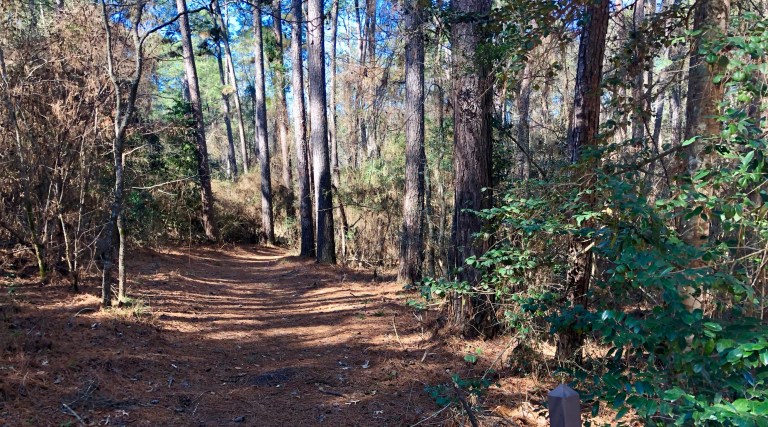
After spending a good amount of time poking around, I’m close to linking up a pretty handsome cross bike ride right from my house and mostly within town. It seems that no matter where I have ever lived, I’ve always been able to link local roads, trails, and paths into a pretty good route. It started in Ann Arbor with a 19 mile town ride we called the Loop of Pain. If rode backwards we called it the Loop of Niap….. pain spelled backwards. I did the same in Seattle and of course Boise and McCall were a snap!
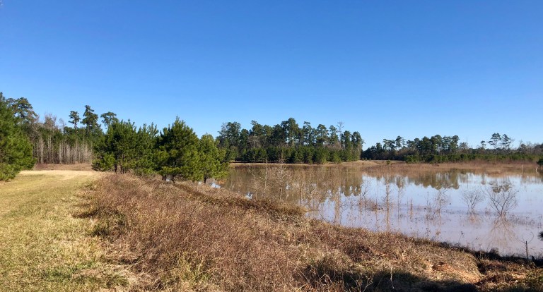
Developing a local loop here in Texas has been a much bigger challenge, most of the un-developed land sits in what they refer to as River bottom. Essentially along creeks and river where it seems that even if the clouds come out, shit gets real wet and soupy.
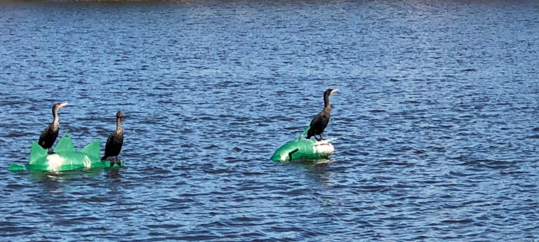
Not to mention the gators and snakes…. since I don’t visit these areas when the weather gets above 70 degrees, mostly I don’t worry about those ankle biters! However, as far as I can tell, most hikers and dog walkers avoid these areas too and where I have always found rouge trails, here, none! I mean zero!
I have found a couple of gems though, one area appears to me to be an abandon and overgrown golf course….. This image shows what the locals call a Texas Mountain!


No name yet for my emerging route, text me suggestions and perhaps your name may stick! I’m off to Idaho for a few days of winter!
