
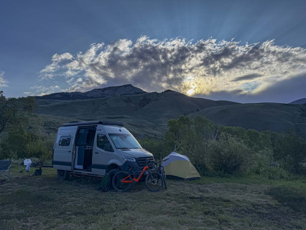
Today we woke up to a beautiful morning and a forecast for high winds….. gusts up to 55 MPH.
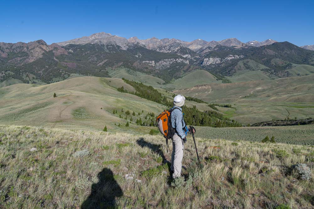
Originally our goal was to get up Bell Mountain which is at over 11,000 feet but with 55 MPH winds in the valleys, we didn’t want to be up in the jet stream. We selected this sub 10k er which was reachable from camp and since the winds were not supposed to kick up till noonish, we could back off if need be.

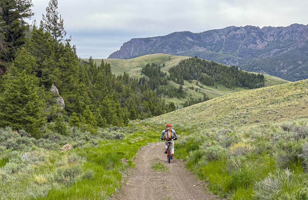
It’s interesting they call these dirt roads “trails” in these parts.

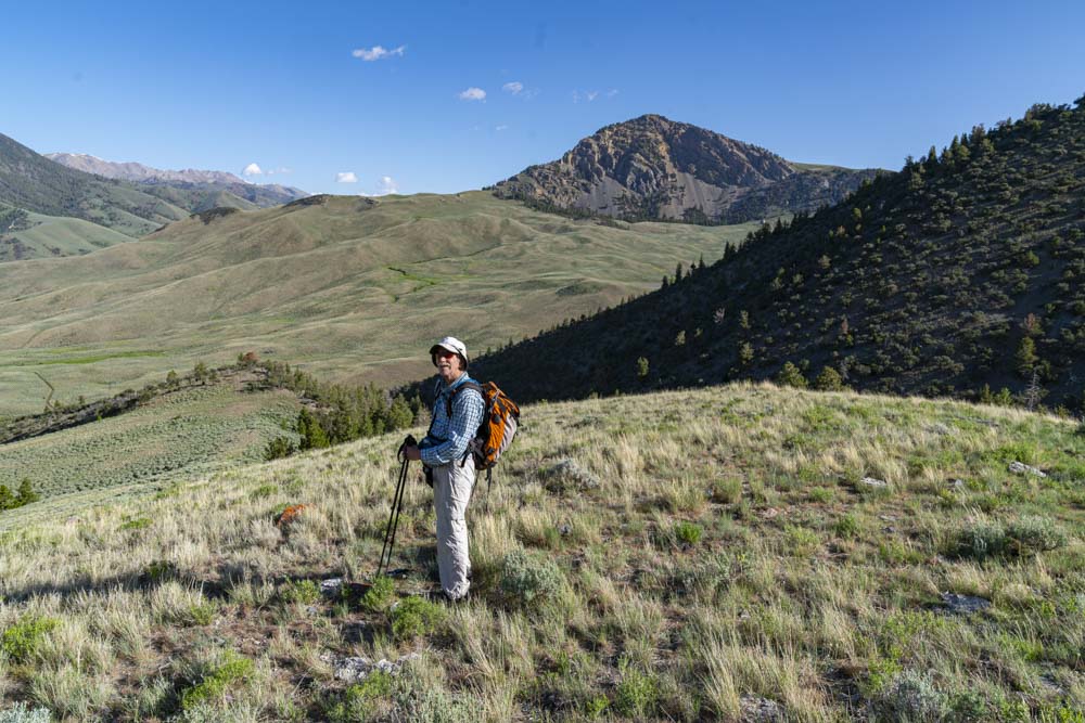
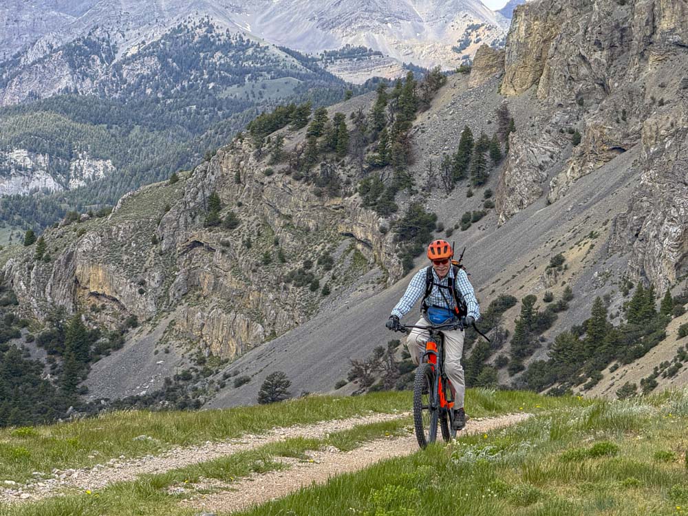
Brian makes his way up to the bike parking spot ahead near the trees. Our climb starts in those trees and goes straight up that ridge….. That ridge looks like a cake walk but I can assure you it was steep. A careful eye can pick out the rock summit just above the end of the grassy ridge.

We park the bikes, throw on a lock and put some sage brush subterfuge on top of the fishing lure orange Trek.

As we move up the ridge, the peaks from around Bear Creek Lake come into full view.
Brian soaks in the view with a bonus Dave selfie.
Off in the distance is Mayhem 2.

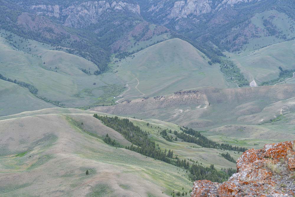
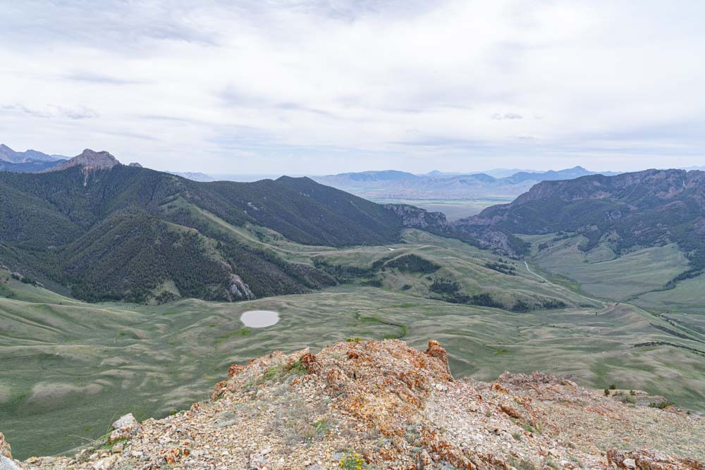
Now a shot looking down the grassy ridge with the “trail” in the valley. Our camp is in the small drainage mid image right side.

Mayhem Mountain 2.


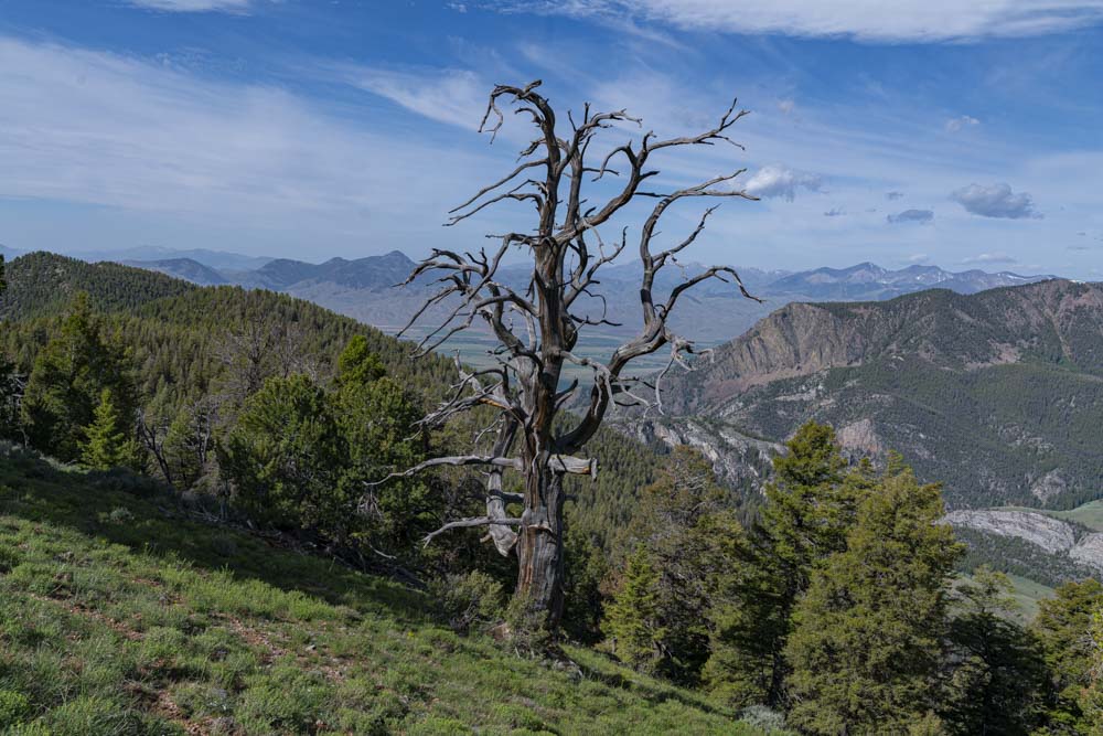
Trees.
Another snag with the Mackey Valley down below.

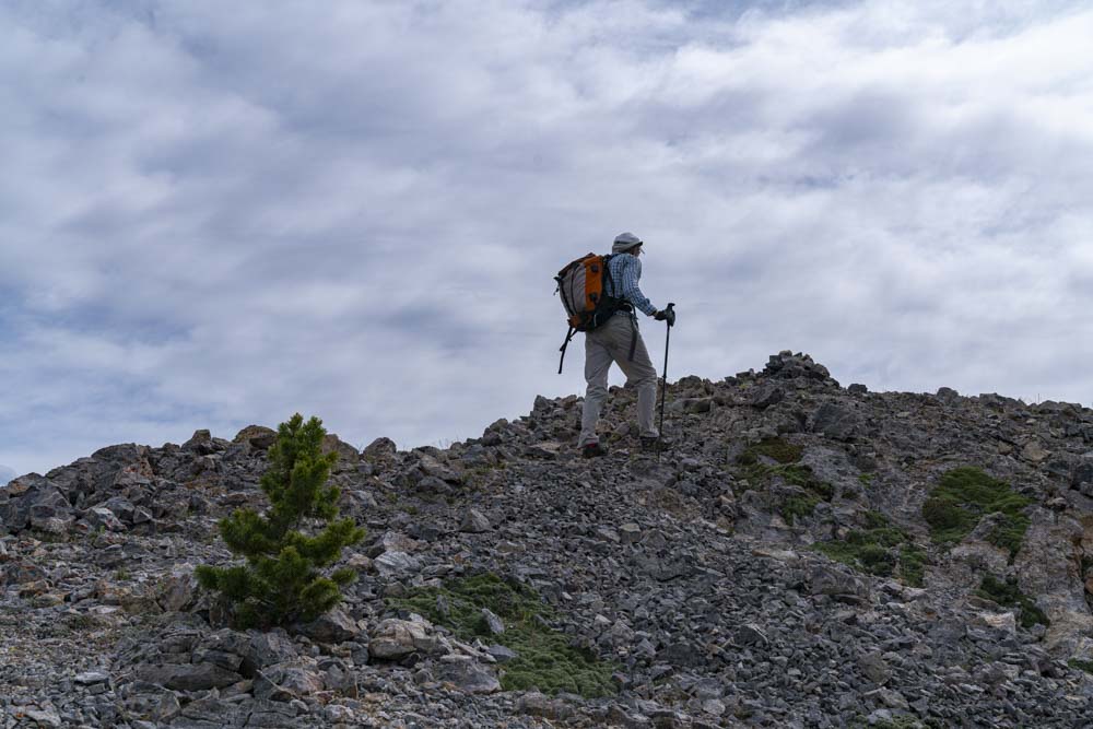
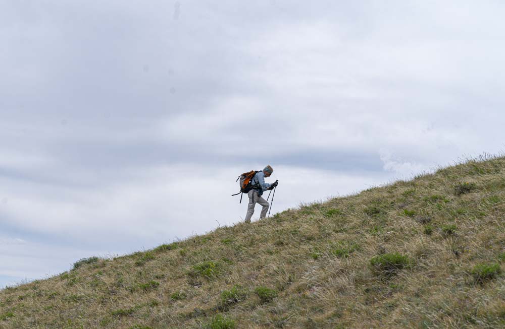
Brian works his way up the ridge towards the summit.
Summit.

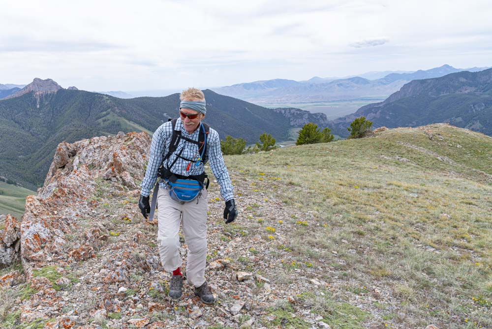
We could defiantly feel the breeze picking up but at this point it wasn’t too bad.

Looking south off the summit I believe the peak on the right is King Mountain. The Big Lost River Drainage is on the far right with the foothills of Arco at the end of the range.
Sunset peak was on our possible to do list for tomorrow but with a crappy forecast we were keeping our options open.

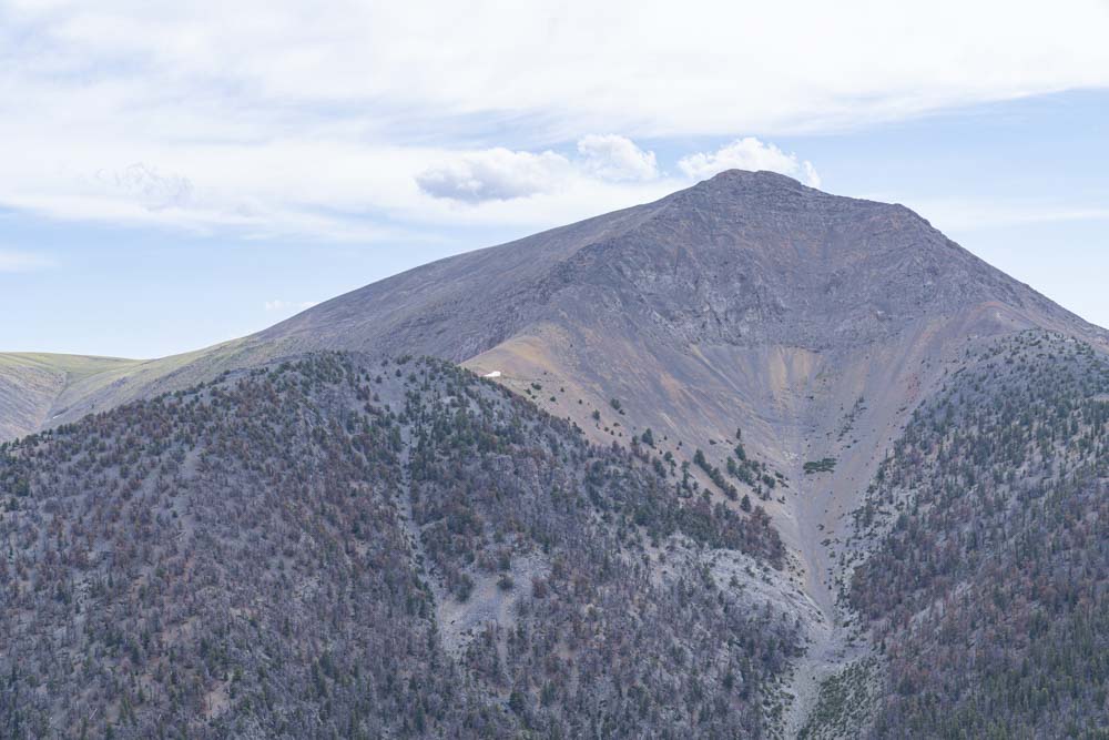
From the top of Mayhem 1, we had a great view of Bell Mountain and also another possible peak for tomorrow if the weather was bad, Hawley Mountain. Hawley Mountain is the lower close in peak on image left.
Looking north off the peak and with a pretty good zoom you can make our our camp in the right side drainage.

After finishing our climb of Mayhem 1, we were both fairly low on water. We jumped on the bikes and headed further up the drainage hoping to find a stream or filter water from Mud Lake. We both agreed Mud Lake was not an option and did not find any other sources of water.

After a careful assessment of our remaining water resources, we pressed on figuring it was just a 2000 foot mountain bike decent back to camp once we ran dry.

Brian grinding up the mountain.
He seemed to have good legs today and was wearing a big smile!

By the time we hid the bikes for climb number 2 the wind was whipping, I mean WHIPPING!
Check out this video to see some wind…. As usual, you will probably need to go directly to my web site to view it. Those who receive email notifications I’ve been told can’t access videos.
The wind was coming straight across the ridge so I dropped down a little and found a small pocket which must have been in a vortex and wasn’t too bad.
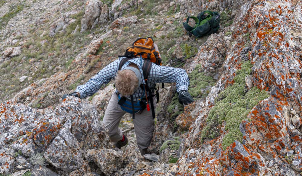
Mostly this climb was just a steep walk up but the summit had about a 10 of 15 foot head wall. Normally in these situations you make your rock moves and look over and down a 1000 foot drop.
I was quite surprised when I made the move and found a big flat summit over the rocks.

The original Mayhem on top of Mayhem 2.

Off in the distance are the Lemhi Mountains with the prominent peak Bell Mountain center image and Diamond Peak further to the right. Diamond Peak is over 12,000 feet, a 12er as they are known here.

The original Mayhem posing in front of Mayhem 1 just off his left shoulder.
Mud Lake below and I believe those are whitecaps on the Lake.
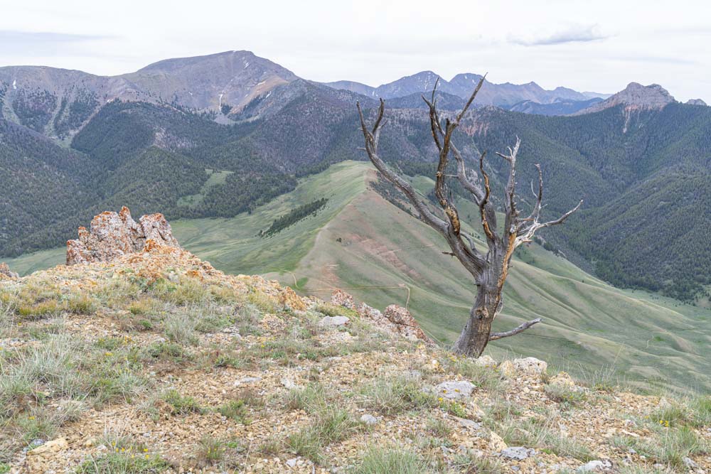
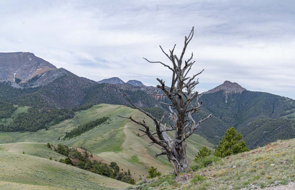
We found lots of these old snags around these parts.
Another snag. Below you can just make out the road to the saddle where we parked our bikes. Also just right of the snag is Mayhem 1 and to the far left is Sunset Peak.
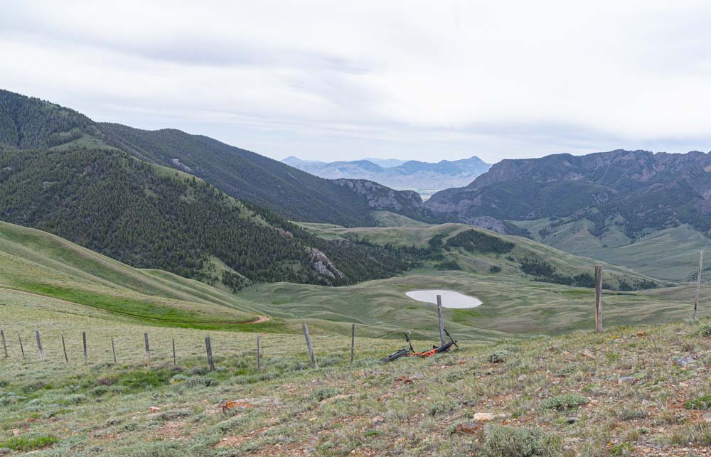
Our bikes wait our return with mud lake in the background.
Back down to camp we go, it was approximately 2000 feet below. At this point we were both out of water but that mattered little to us as we had a fun easy decent back home.
